Up Home Page » Texas Prev Next Slideshow

 Previous image  Next image  Index page
20130228_155824 D3S
20130228_161832 D3S
20130228_163703 D3S
20130228_164059 D3S
20130228_164235 D3S
  20130228_170911 D3S.jpg - Figure 2 Ranch - The lands which now lie within the boundaries of the Figure 2 Ranch were occupied in the 19th century by nomadic Native American tribes.  (Along route 54, north of Van Horn)  
20130228_173816 D3S
20130228_194711 D3S
20130228_194855 D3S
20130228_194925 D3S
20130228_195341 D3S

96 | Figure 2 Ranch - The lands which now lie within the boundaries of the Figure 2 Ranch were occupied in the 19th century by nomadic Native American tribes. (Along route 54, north of Van Horn) Download
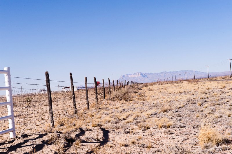
Photographer: Fred Seligman MD | Camera: NIKON D3S | Date: 2/28/13 5:09 PM | ISO: 400 | Exp. Time: 1/500s | Aperture: 11.0 | Focal Length: 70.0mm (~70.0mm) | Latitude: N 31°27'36.78" | Longitude: W 104°50'30.55" | Altitude: 1095 metres | GPS time: 22:9:11 UTC | State/Province: Texas | Copyright: © 2013 Fred Seligman MD | Caption: Figure 2 Ranch - The lands which now lie within the boundaries of the Figure 2 Ranch were occupied in the 19th century by nomadic Native American tribes. (Along route 54, north of Van Horn) | See map
Total images: 388 | Home Page | Fred's Web Page | Help